USGS banner.


A photo of White River at Strawtown, IN.

Go to the references cited page. Go to the references cited page. Go to the references cited page. Go to the index map page. Go to the index map page. Go to the index map page. Go to the bank-condition categories page. Go to the bank-condition categories page. Go to the bank-condition categories page. Go to the bank assessment page. Go to the bank assessment page. Go to the bank assessment page. Go to the study methods page. Go to the study methods page. Go to the study methods page. Go to the study objective page. Go to the study objective page. Go to the study objective page. Go to the background page. Go to the background page. Go to the background page. Go to the introduction page. Go to the introduction page. Go to the introduction page. Site navigation side bar.


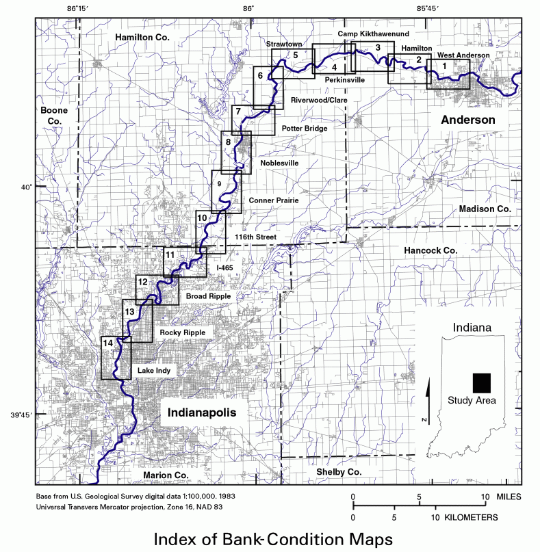
Channel-Bank Conditions and Accumulations of Large Woody Debris along White River between Anderson and Indianapolis, Indiana, 2002

Index Map

West Anderson Hamilton Perkinsville Strawtown Riverwood Clare Potter Bridge Noblesville Conner Prarie 116th Street I-465 Broad Ripple Rocky Ripple Lake Indy Camp Kikthawenund For details click on one of the numbered boxes outlining a section of the river's reach.

Index of bank condition map.

<<<Previous Page        Next Page>>>


U.S. Department of the Interior
U.S. Geological Survey
5957 Lakeside Boulevard
Indianapolis, Indiana
46278-1996
USA
Phone: (317)290-3333
Fax: (317)290-3313
URL: http://in.water.usgs.gov/newreports/bankerosion/page7.shtml
Last modified:Tuesday, 15-Jan-2013 13:25:37 EST
E-mail questions and comments to webmaster

[Go Home] USGS Indiana Home Page